| « Seychelles - north of La Digue | Seychelles - light and magic at Anse Source D'Argent » |
Seychelles - Anse Source D'Argent
Added: May 30, 2014
L'Union Estate
Let's start to untangle my messed up riddle.
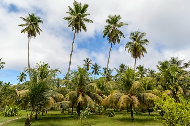
I don't know it if was intention to extract some money from visitors wanting to see the best place in whole Seychelles or it was just "coincidence". There are only 2 ways how to get to Anse Source D'Argent. One is from south by hiking and it is passable only during low tide. This one is free (unless you paid for a guide, that is advisable to do). Other, simpler, way is throught L'Union Estate. It was former copra factory, but it is attraction for tourists now. Entry fee is RS100 and it is valid for one day. It could be interesting to spend more time here, but having such an attraction next to itm we did not hanged around much. A pity, this place offered a few possibilities to take photos of coco palms. But we stopped only at tortoise pen. That was nice stop.
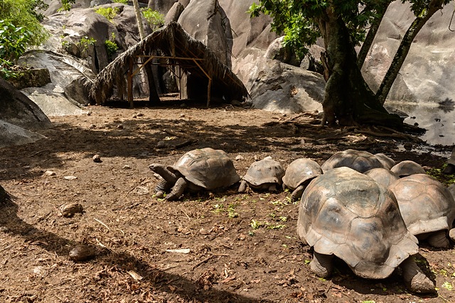
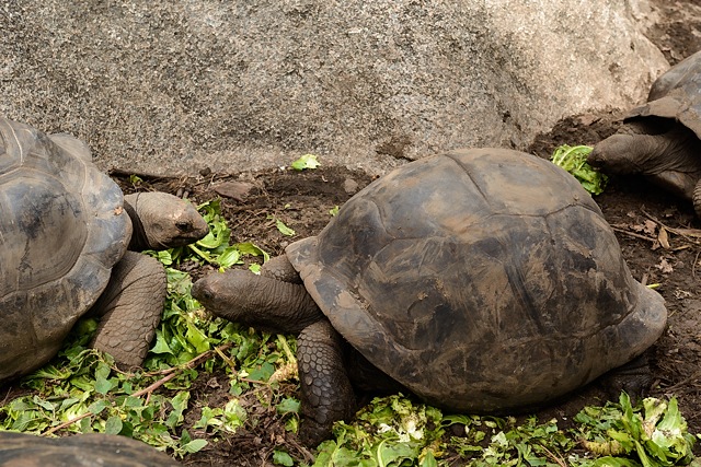
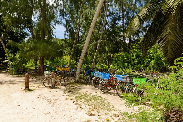
Bicycle parking lot at the end. But it is not the end, it is just a beginning. What follows will amaze you.
Anse Source D'Argent
This is it. The place with iPads. But there were not just iPad owners. I have seen also iPhone owners (like me) and many proud owners of DSLRs wading in shallow waters of this place, hoping to take a perfect photo of this amazing, wonderful and magical place.
What is good for photographers is less than ideal for swimmers. Swimming here sucks. Or it would be better to write - hurts. Water is really shallow, only at some places it is deeper, but not far away it is shallow again. But who would swim around this place? It is much more convenient to just submerge most of your body and look around and enjoy. Many times, when I am preparing for writing a new blog here, I am struggling to pick limited number of photos. This time, well, this time it was major pain in the neck. I have hundreds of them. Because it was cloudy the first time we came here, we returned following day when weather was better. So I retook most of my photos with an intention to delete all photos from the previous day. Problem is I did not manage to do that. They were different, but not necessarily worse, so I left most of them.
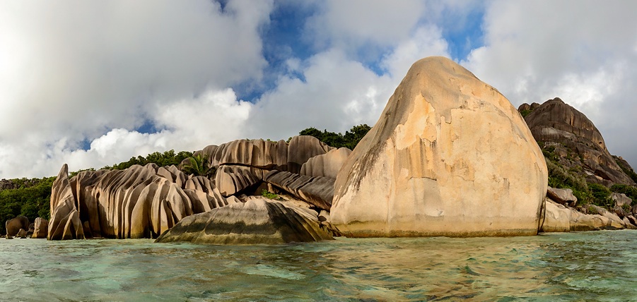
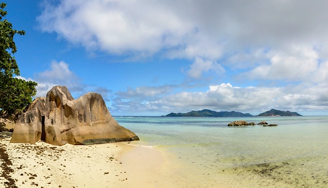
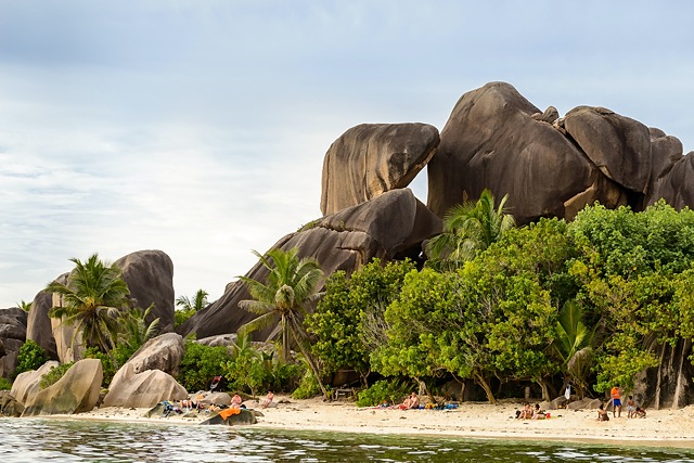
This is beginning of this Anse. If you came along the beach, you would get this view from distance. Sort of, because this was taken from water...
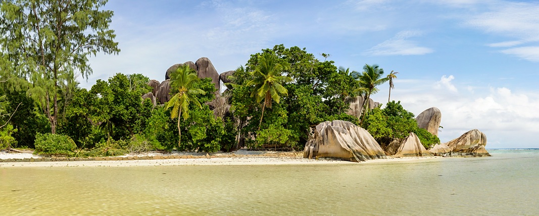
I cannot simplify photo much more than this. Island Praslin is in distance.
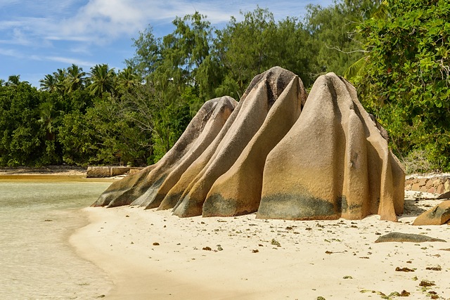
The same boulder from other side.
My attempt at slow motion animation
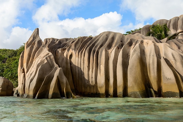
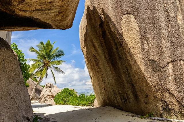
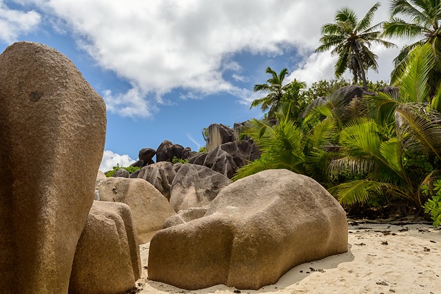
Let's return again to the beginning. It is interesting how those boulders can offer completely different impression when observing from other angles. I am not good at story telling with series of photos, regardless I am offering you short walk-through with possibility to see the form of some boulders.
A view as we have seen from the 1st panorama.
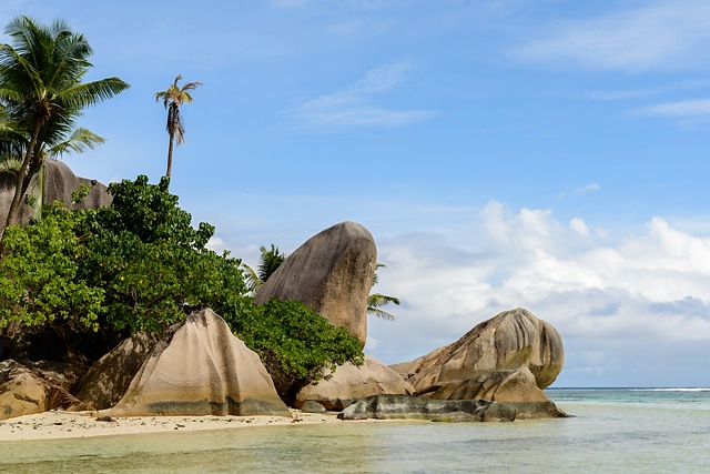
Let's move closer.
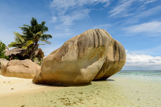
Move slightly to the right, deeper to the water, turn left and imagine 2 local boys sitting on the boulder. You are doing it well.
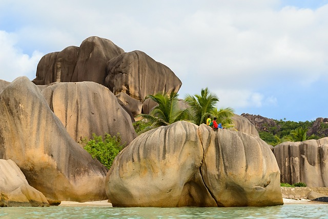
Now, move forward and turn back. It's a turtle!
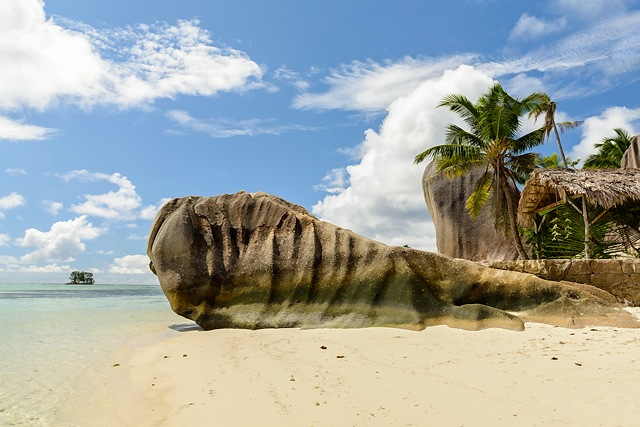
Move further away from turtle boulder.
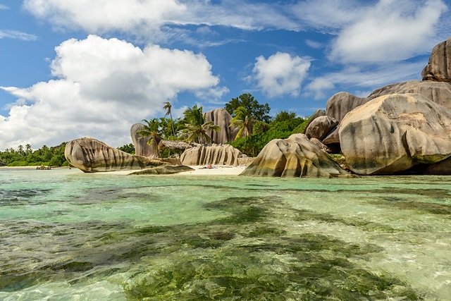
Turn to the right at previous spot.
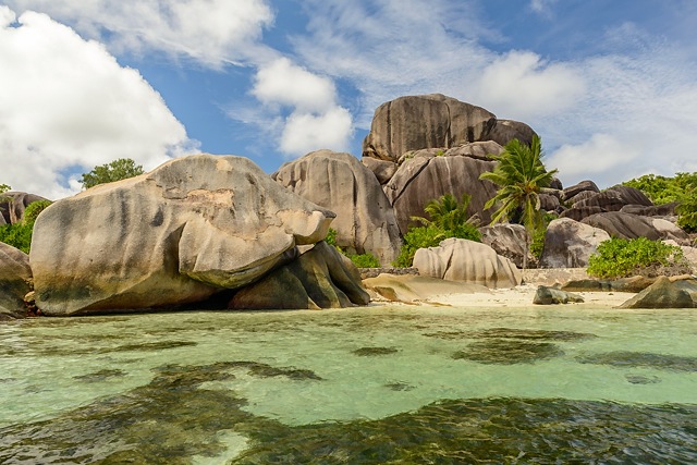
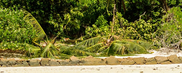
I did not want to distract you during previous augmented reality attempt, so you might want to look back. There is a small hut at some photos. Locals put fresh leaves from coconut palm at it every morning. Plus they sell green coconuts quite close. It took me some time, but then I realized where they take the material. They simply cut down some coconut palm!
I have seen crown of palm on the ground at the beginning, then there are a few standing trunks without any crown nearby (we have seen such sights also on Praslin) and most importantly, if you look at older photos in books or postcards, you will realize there were many more palms around in the past. Locals simply devastate this beautiful place :-(
Do you want some proof? This is crop from the left side of panorama at the top.
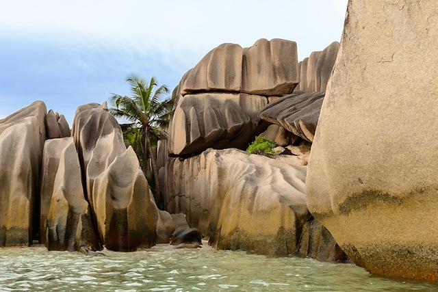
More boulders
That was not end of Anse Source D'Argent. Well, maybe it was, but it is not very probable. Unfortunately, due to bad maps and differences in them, I cannot be sure where it ends and where Anse la Source à Jean starts.
I have similar photo to this one in a book, taken just couple of meters from behind and it shows two nice leaning palms. They are not there anymore.
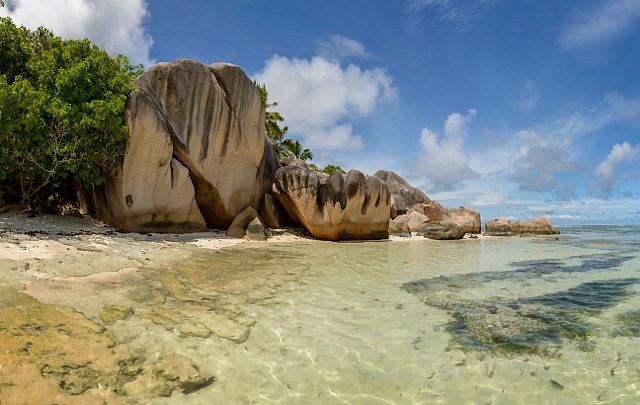
These look like some chameleon. Apart from broken masking feature :-)
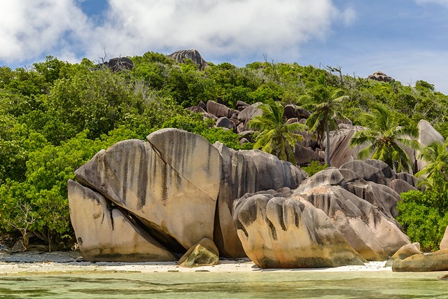
Example of smaller boulders :-)
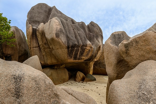
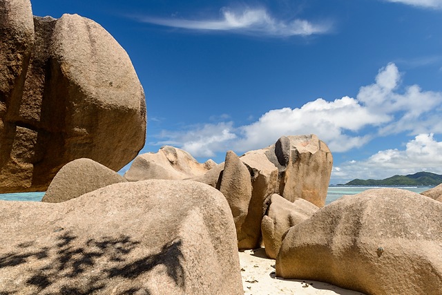
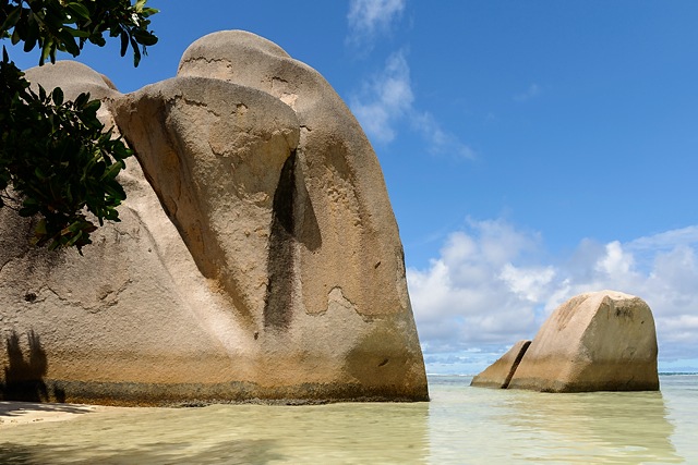
This place is ideal for barefoot walking. You can get from one end to other without worrying your feet will hurt.
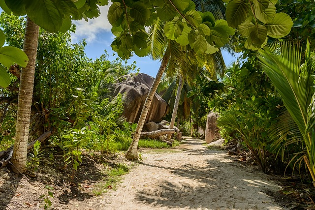
Who said I cannot simplify a photo any more?
Do you see thin white line at the horizon? That's surge at coral reef. "Shallow" water goes up to that place, but don't take my word for it, because I did not go there to check.
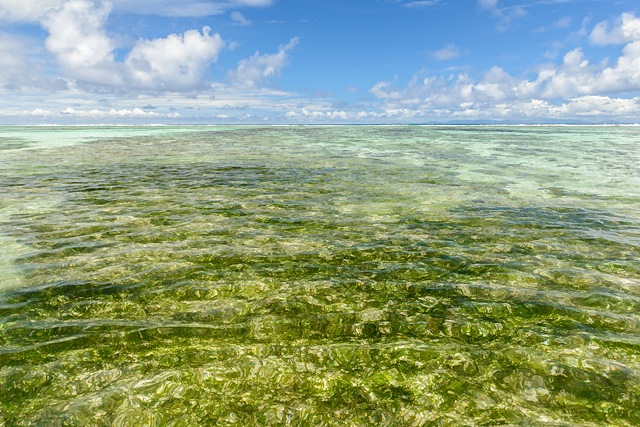
In my (uninformed) opinion this boulder could be border between Anse Source D'Argent and Anse la Source à Jean.
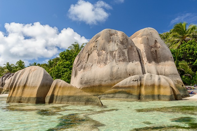
Anse la Source à Jean and Anse Pierot
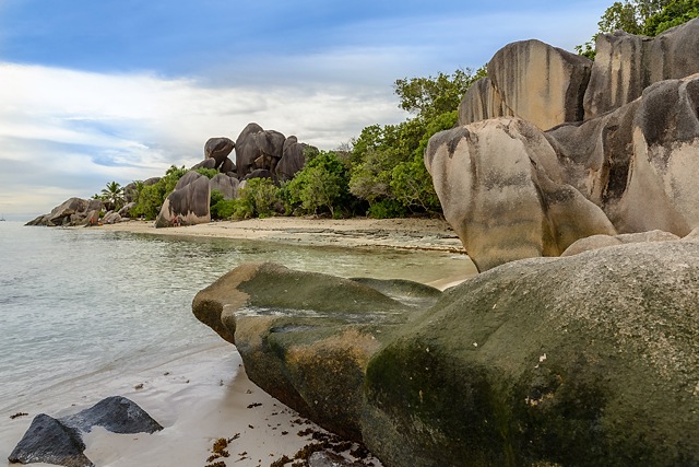
I am pretty sure following photos are from Anse la Source à Jean. But my confusion is not settled completely.
There is far end of this beach, which according to maps should be Anse Pierot. Question for lawyers and land surveyors is to which Anse those huge boulders at their border belong?
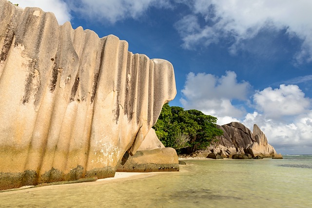
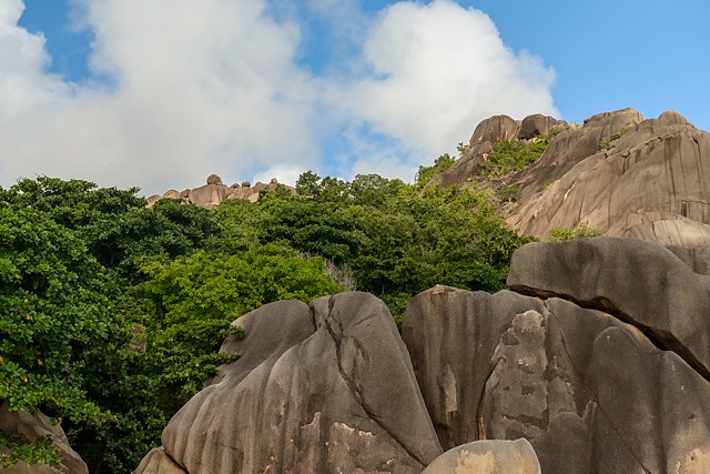
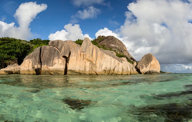
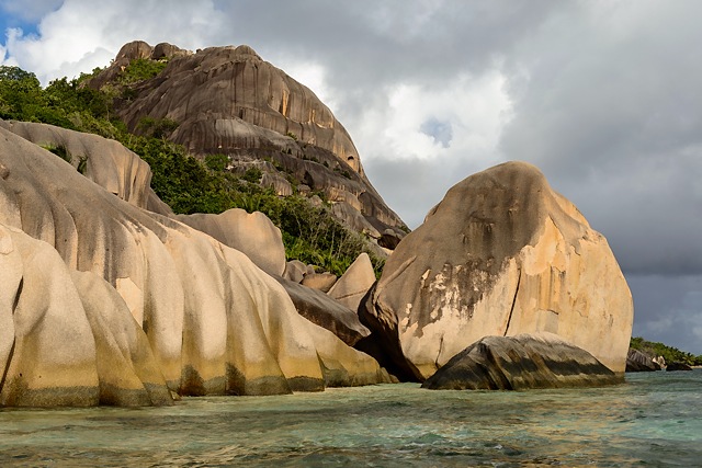
Following photos show the furthest point I got. I've been there twice, both times quite late in the evening with high tide coming. Second time is was also windy, binging unseen feature - waves - at least at this place. It did not help to get more courage, being chest deep in water, holding my heavy and expensive camera above my head.
